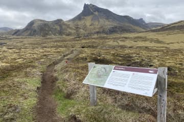
Tröð forestry


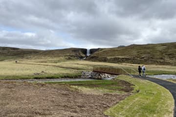
The walking trail through Tröð forestry is fun
and varied. The forestry is a beautiful and good place to enjoy the environment
and enjoy being together. The forestry trail is a fun outdoor trail where you
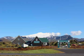
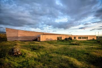
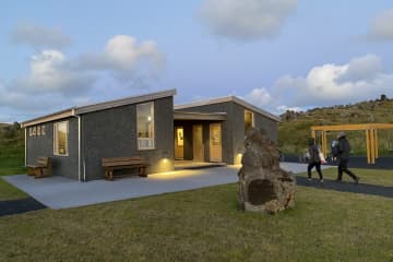
can assess a campsite, the Maritime Museum and the new building of Snæfellsjökull
regional park.
In 1950, Kristjón Jónsson started farming in
Tröð by Hellisandur. A beautiful area that stood in the lavafield and became
popular early on among forest-and arboriculture enthusiast. In 2002, the Forestry
and Land porection association under the Snæfellsjökull signed an agreement
with Snæfellsbær to take over the management of the area, based on a special
cooperation agreement. The area is well sheltered, an ideal place to enjoy the
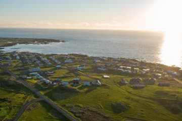
surroundings and use the hiking trail that connect the forestry to the
campsite, the sports area, the Maritime museum and Snæfellsjökull regional
park. Tröð forestry is an „Open forest“, as it was officially open in 2006.
Accessibility and facilities are exemplary but into the forest you can find
many hiking trails, resting places, informations and facilities for cooking.
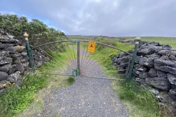
The forest is surrounded by a rock-filled fence, but beyond the fence there are
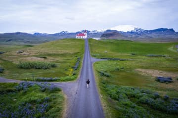
more hiking trails in the surrounding area. Snæfellsjökull shines brightly from
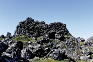
the forestry and the hiking trail around the lava field is a fun experience.
Area: Snæfellsbær.
Road number to the starting point: Útnesvegur (nr. 574).
Difficulty level: Easy/light.
Length: 2.08km.
Elevation: 0-50 meters.
Markings: No markings.
Duration: 27 minutes.
Route type: Paved paths, small rocks, grass, lavafield and wood sticks.
Obstacles on the way: Steps over the rock-filled fence and steps when walking to the Maritime museum.
Service in the area: Maritime museum and the Snæfellsjökull regional park.
Illumination: No illumination.
Season: The hiking trail is open all year round.
GPS coordinates to the starting point: N 64°31.2295 W021°26.3108
GPS coordinates to the ending point: N 64°31.2295 W021°26.3108

