Borgarnes walking trail


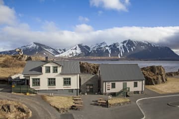
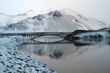
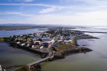
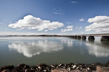
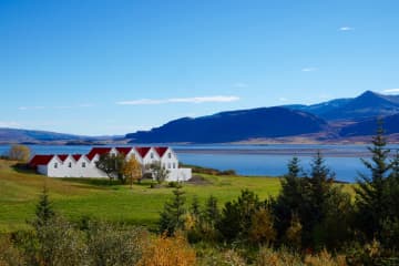
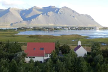
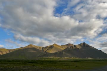
While visitors are welcomed by the majestic and 4 million years old Hafnarfjall mountain, at the same time they can admire the imponent Snæfellsjökull glacier in the distance. Hvítá river runs along Borgarnes coastline and across Borgarvogur bay, you can have an overlook of the historic, Borg á Mýrum.
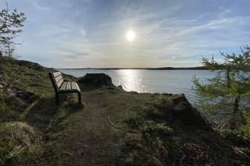
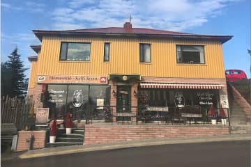
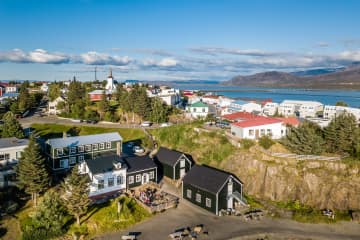
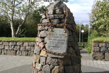
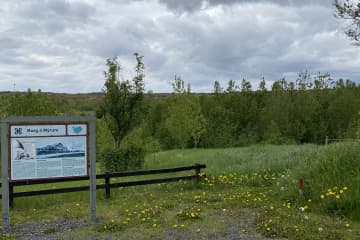
Borgarnes is the l argest urban centre in Borgarfjörður, with around 3.800 inhabitants. The town is a well-known resting place for domestic and foreign tourists, but even if you are travelling around the country and passing through Borgarnes, it is worht a visit, as there are many services available, whether it is in the form of accommodation, refreshments or activities and also many resting stops with beautiful views, information signs on the history of Borgarnes and about the ecosystem of Borgarvogur.
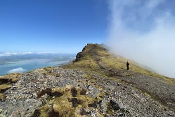
Borgarnes is on the beaten track, either if you are driving in the direction to Snæfellsnes or driving south to Reykjavík or north to Akureyri. Numerous hiking trails can be encountered in Borgarnes. From new walking paths, with access for carriages and wheelchairs, to hidden paths that are hidden in many places in between the residential areas of Borgarnes, all with different substrates, design and accessibility.
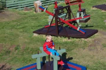
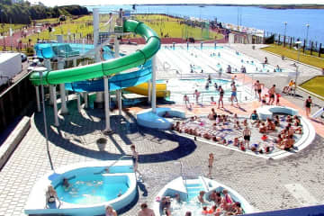
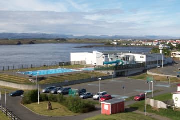
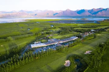
The hiking trail is connected to the campsite, sports ground and service area but it should be noted that it is needed to walk across highway no. 1 and there is no underpass or brigde. Skallagrímsgarður, Vigdísarlaut, Granastaðir, Vesturnes, Suðurnes, Miðnes, Bjössaróló , Hlíðartúnshús and Hjálmaklettur are some examples of fun areas connected to the hiking trail around Borgarnes.
- Area: Borgarnes, Borgarbyggð
- Address of the starting point: Brákarbraut 15, Borgarnes
- Level of difficulty: Easy.
- Length: 9.89km/6.14 miles.
- Elevation: 50-100 meters/164-328 ft.
- Markings: No markings.
- Duration: 2 hours.
- Route type: Mud and small rocks substrates.
- Obstacles on the way: Several small steps are on some paths.
- Services in the area: Services around the area and in the camping site in Granastaðir, Borgarbyggð information center.
- Illumination: Part of the route is illuminated.
- Season: The hiking trail is open all year round.
- GPS coordinates starting point: N64°53523 W021°923
- GPS coordinates finishing point: N64°53523 W021°923

