Borg á Mýrum-Einkunnir hiking trail


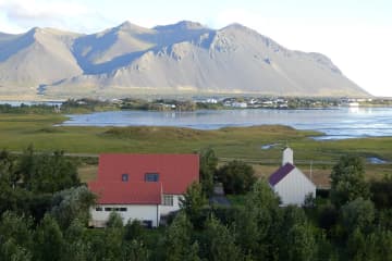
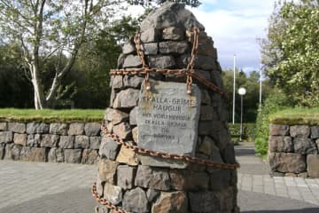
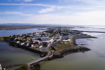
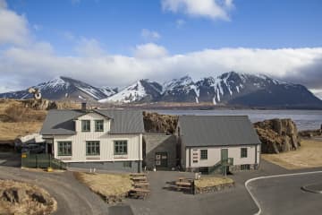
Borg á Mýrum is a church site located west of Borgarnes. The place is, according to Egil Skallagrímsson's story, a settlement ground, but a church has stood there since 1002. Borg á Mýrum is a well-known place as a destination for tourists, whether they are foreign or domestic tourists. The church site has welcomed foreign visitors for years, but visitors have then been guided around the area and have been allowed to see the church under the guidance of the priest at Borg. The artwork Sonatorrek and a view of Borgarnes and Hafnarfjall faces visitors who come to the church.
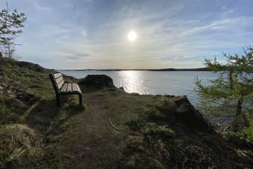
Einkunnir country park are a 273 hectare country park that can be found north of Borgarnes. Forestry has been there
since 1951, but within the country park there is a beautiful pond, Álatjörn, along with a number of footpaths, resting places and beautiful forestry, which makes Einkunnir one of the pearls of Borgarbyggð. Monuments are on the trail at
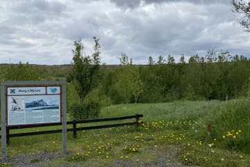
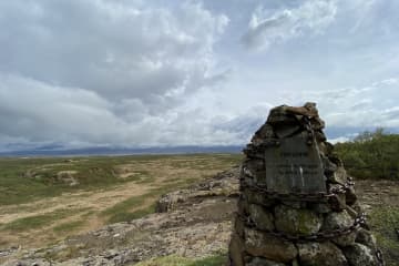
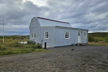
Borg á Mýrum but also on the hiking trail between Borg and Einkunnir. In 2015, the registration of relics along the trail began, but there you can find relics of a sheep stable, a shepherd's house, a shelter and more. Hikers are asked to
respect the relics that are found.
The trail is marked all the way, but keep in mind that in many places it is difficult to cross ditches and swamps along the
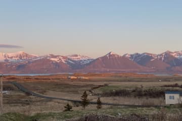
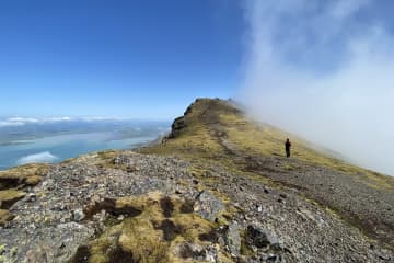
way. The trail between Borg á Mýrum-Einkunnir offers a magnificent view of Hafnarfjall and Borgarnes along with the beautiful wildlife that can be found along the way.
Area: Borg á Mýrum/Einkunnir country park, Borgarbyggð.
Road number to the starting point: Parking lot by Borg á Mýrum(road no.54).
Level of difficulty: Moderate.
Length: 5.26km.
Elevation: 123 meters.
Markings: Markings on the trail.
Duration: 1.30 hours.
Route type: Small rocks, mixed materials, and grass.
Obstacles on the way: There are steps on the trail.
Service in the area: Toilets are accessible at Einkunnir.
Illumination: No illumination.
Season: The route is open all year round but be aware of winter condition on the route.
GPS coordinates to the starting point: N64°33.6630 W021°54.9579 (At Borg á Mýrum)
GPS coordinates to the finishing point: N64°35.8993 W021°54.6785 (Ends at Einkunnir).

