Barnaborgir hiking trail


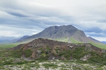
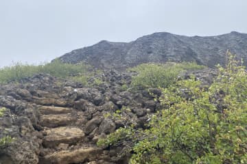
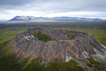
Barnaborg lavafield is a wavy Aa lava field from modern times, where heather and scrub have grown, flowed from Barnaborg. Volcanic cone was in the middle of the lava, but Barnaborgir are two lava hills standing in the middle of the lava field. A fun outdoor area with hiking trail around the lava where you can enjoy the area, the silence and the beauty of Snæfellsnes and Borgarbyggðar at the same time. The Environment agency of Iceland (ust.is) has Barnaborgir on the natural heritage register list.
The path through the Barnaborg lava field is visable, but from the parking lot there are steps over a fence, but then visitors
are faced with a clear path that leads visitors into the lava field. When entering the lava field, narrow paths are visable that can be dangerous, but visitors must ensure good footwear before entering the lava field. The area around the lava hills is majestic, where visitors can walk around the area and enjoy the environment, nature and tranquility that the area has to offer.
Area: Borgarbyggð.
Road number to the starting point: Road no.54 (Snæfellsnesvegur).
Level of difficulty: Easy path.
Length: 2.8km
Elevation: 107 meters.
Markings: Markings can be found.
Duration: 45 minutes.
Route type: Small rocks, grass, lava field.
Obstacles on the way: Steps are on the paths.
Services on the way: No services.
Illumination: No illumination.
Season: The trail is open all year round but be aware of winter conditions before hiking.
GPS coordinates starting point: N64°45.3335 W022°14.9905
GPS coordinates finishing point: N64°45.3335 W022°14.9905


