Hafnarfjall the Seven peaks
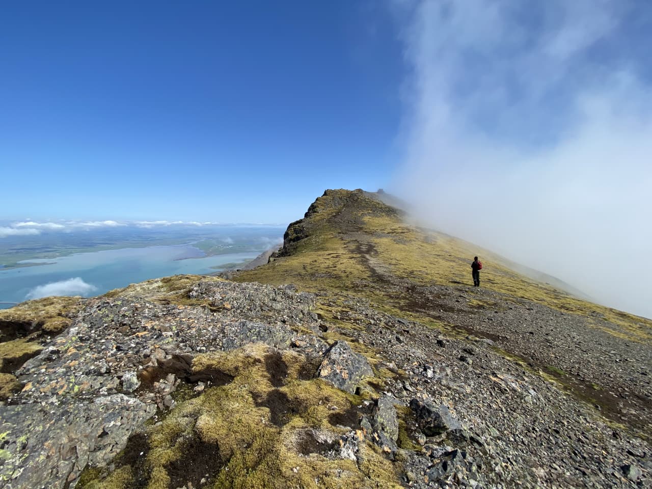


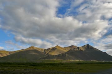
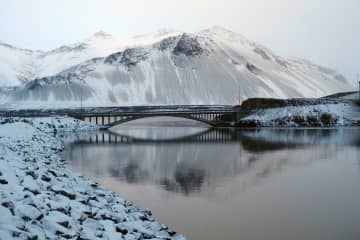
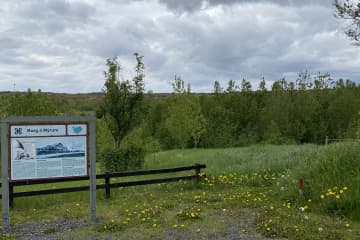
Hafnarfjall in Hvalfjörd is a popular outdoor spot where walking and running enthusiasts take advantage of it. The mountain offers the possibility of different hiking trails, whether it is hiking up to "Steini", hiking to the top and back or going seven peaks. With the presence of the Borgarfjörður Touring Association, access to parking has been greatly improved and markings have been installed on top of the mountain. An information sign has been put up at the parking lot showing different walking paths, what to watch out for and so on.
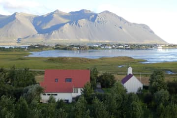
Hafnarfjall has been best known for the strong winds that road users on the Vesturland road have felt over the years. The hiking trails around the area are well known by Borgarfjörður locals. Many people use the old highway that runs from the parking lot down to road no. 50 that runs on the Hvitá River. The possibilities for a large group of outdoor enthusiasts are great, as you can walk on level ground, hike up the steep slopes of Hafnarfjal, but also enjoy outdoor activities into the canyons and along the rivers found in the area. The view at the "Stein" and the view at the higher point is spectacular, but at seven peaks hiking the view is varied and the person can see widely the fantastic surroundings.
Area: Hvalfjörður.
Road number to the starting point: By the highway nr. 1.
Difficulty level: Hard/difficult.
Length: 15.31 km/ 9,51 miles.
Elevation: 1010 meters /3313 ft elevation.
Markings: The first part of the route has been marked, from the parking lot up to the first part.
Duration: 4hours and 30 minutes.
Route type: Small and big rocks, grass and mixed substrate.
Obstacles on the way: Steps and wades.
Services in the area: There are trash bins at the parking area.
Illumination: No illumination.
Season: Temporary closures (due to being closed during the winter months).
GPS coordinates to the starting pointupphaf: N64°30.8785 W021°53.4740
GPS coordinates to the ending point: N64°30.8785 W021°53.4740


