Stykkishólmur walking trail


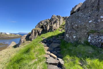
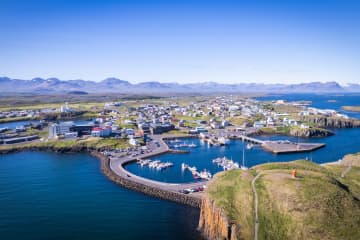
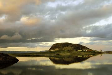
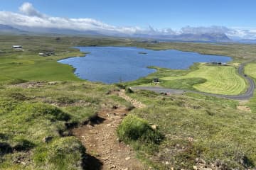
The town of Stykkishólmur, in cooperation with Stykkishólmur Forestry Association, Minjastofnun and residents of Stykkishólmur have embarked on ambitious work to prepare a strategy for future footpath construction in the land of Stykkishólmur. There are many walking paths, they are varied, in beautiful places in many parts of Stykkishólmur and with different views of Breiðafjörður, Drápuhlíðarfjall and Snæfellsnes mountain park.
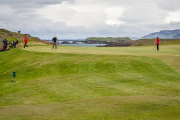
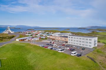
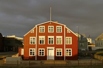
The path around Grensás is widely used by the residents of Stykkishólmur, but the forestry is connected there to the outdoor recreation area of Stykkishólmur golf club and Stykkishólmur sea bathing club. There are variety of hiking trails and many resting places, but it is popular for groups to get together in the forestry and enjoy the facilities that are available there. A trail from the church of Stykkishólmur down to Maðkavík is popular among tourists, as the church makes a big impression on Stykkishólmur. Maðkavík has been one of the pearls of photographers who visit Stykkishólmur and the old boats lying there are more often than not, the main models of photographs. The hiking trail up Súgandisey is popular, but there are well-maintained hiking trails throughout the island. Trails around Hjallatangi and Búðarnes are popular among the residents of Stykkishólmur, but there you can enjoy the wildlife, mixed with relics from the times when ships used to land there.
- Area: Stykkishólmur
- Road number to the starting point: Parking lot at the forestry
- Level of difficulty: Easy/Moderate
- Length: 9.84 km.
- Elevation: 164 m. (Súgandisey island)
- Markings: Some markings are on the route but not everywhere
- Duration: 2.20 hours
- Route type: Small rocks, concrete, mixed materials and grass
- Obstacles on the way: There are steps on the trail
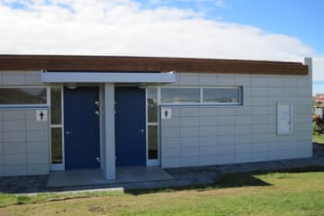
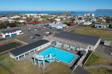
- Service in the area: Camping ground is next to the route and toilets can be found at the camping ground and in the gymnasium
- Illumination: Illumination is on part of the route
- Season: The route is open all year round but be aware of winter conditions on the route
- GPS coordinates to the starting- and finishing point: N 65°03.8011 W 022°44.2534

