Einkunnir hiking trail


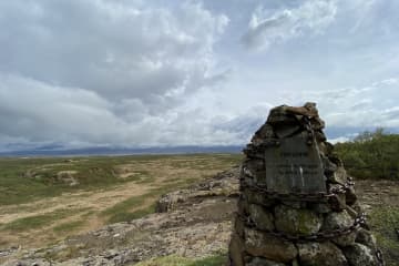
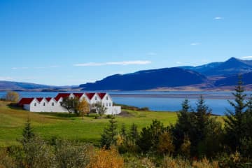
In Einkunnir you can find a very diverse landscape, animal-and plant life. The area was protected as a country park in
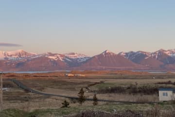
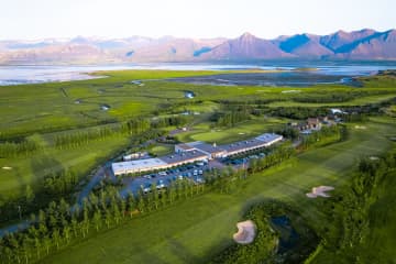
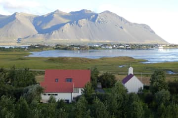
2006, but the goal of the area's protection is to protect the wetlands and geological formations that the public can use for education, outdoor recreation and nature viewing. There are hiking trails throughout the area, and you can find difficult slopes mixed with easy paths in the lowlands. The three rock clusters that rise from the marshland are clearly visible in the distance, but up from Syðri-Einkunnir there is a viewing platform, where you can see the mýrar area,
Borgarfjörður and Borgarfjarðadali.
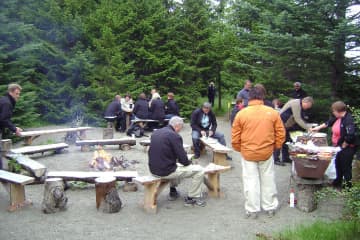
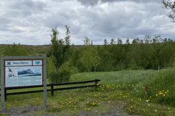
Turn off highway no. 1 and onto road no. 536/3. A road leads to a parking lot at Einkunnir. There you will find information boards about the area's wildlife, along with numerous starting points for hiking trails. The accessibility of carriages and wheelchairs can be found on several routes, but most routes are narrow and there are many inclines. There is a connection to a hiking trail to Borg á Mýrum, but there is also an outdoor recreation area in Einkunnir, where there is a grill, benches and tables. Álatjörn pond together with the number of footpaths, resting places and beautiful forestry makes Einkunnir one of the pearls of Borgarbyggð.
Area: Einkunnir country park, Borgarbyggð.
Road number to the starting point: Parking lot by the forestry (road no.536/3).
Level of difficulty: Easy/Moderate.
Length: 5.2km.
Elevation: 70 meters.
Markings: Markings can be found on the way but needed at times.
Duration: 1.17 hours.
Route type: Small rocks, mixed materials, and grass.
Obstacles on the way: There are steps on the trail.
Service in the area: Toilets are accessible.
Illumination: No illumination.
Season: The route is open all year round but be aware of winter condition on the route.
GPS coordinates to the staring-and finishing point: N64°59824 W021°911

