Beruvík hiking trail


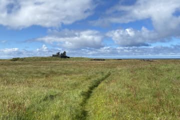
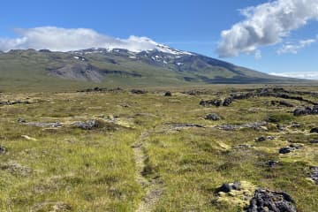
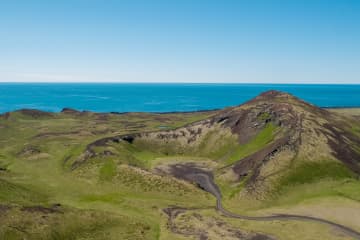
The beginning of the hiking trail is at the parking lot at Beruvík. The trail leads through the ruins of houses that used to be in Beruvík and the path is well marked. It is said that a woman named Bera lived in Beruvík. In Beruvík there were two lands, Garðar and Hella. Nýjabúd, Bakkabúd and Helludalur were sublet. The land was difficult for farming because small fields and lava made it difficult for farmers. However, it was sheltered and good grazing all year round. Farmers fetched the sea from Beruvík and used the driftwood from the ocean. The settlement ceased in the middle of the 20th century. The walk through Beruvík, you pass between town ruins, but you can see, among other things, sheep bath where sheep were bathed due to itch mite in sheep, Nýjabúd ruins and various ruins while Snæfellsjökull towers over visitors.
Area: Beruvík, Snæfellsjökull national park.
Road number to the starting point: Útnesvegur (no. 574).
Level of difficulty: Moderate.
Lenght: 1.17km.
Elevation: 7 meters.
Markings: Markings are visable.
Duration: 18 minutes.
Route type: Lava field and grass.
Obstacles: Trails are narrow, grass paths, and mixed surfaces.
Services in the area: No services.
Illumination: No illumination.
Season: The trail is open all year, except in the months March and April.
GPS coordinates starting-and ending point: N64°48.7933 W023°57.6929


