Varmaland hiking trail


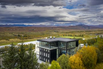
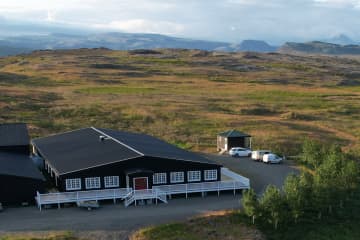
Varmaland is a small village that has been built around geothermal area in Stafholtstungur in Borgarbyggð. The settlement is located in between Hvítá river and Norðurá river, with a kindergarten, swimming pool and a gymnasium. Laugaland, which is a small farm in the area that uses the geothermal energy for gardening, but cucumbers are grown there all year round. Hotel Varmaland is located in the heart of the village and Varmaland is a popular place to visit and to stay.
Varmaland in Borgarbyggð is a well-known place for tourist, both domestic and international. Varmaland´s campsite has been known among domestic tourists for years, but with the arrival of Hotel Varmaland, more foreign tourists have been introduced to the area. Varmaland is clearly visable from highway no. 1, but the lights and the steam coming from
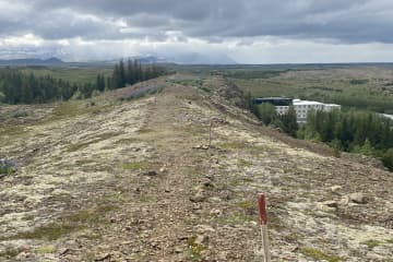
the area is very visable. The trail through Varmaland is located in forestry, on the cliffs above Varmaland but from there, you will find great views over the surrounding areas. The trail starts at Hotel Varmaland but turns into the
forestry, where you can find a playground for younger generation but also numerous walking and hiking paths. A variety of paths, together with a beautiful landscapes, makes a walk through Varmaland, a very interesting and fascinating experience.
Area: Varmaland, Borgarbyggð.
Road number to the starting point: Hotel Varmaland (no. 527 Varmalandsvegur).
Level of difficulty: Easy.
Length: 5.03km
Elevation: 75 meters.
Markings: Markings can be found.
Duration: 1.07 hours.
Route type: Mixed, small rocks, grass.
Obstacles on the way: Steps on the way.
Services on the way: Hotel Varmaland and gymnasium/swimming pool at Varmaland.
Illumination: No illumination.
Season: The trail is open all year round.
GPS coordinates starting point: N64°21.2886 W021°36.6383
GPS coordinates finishing point: N64°21.2886 W021°36.6383


