Húsafell hiking trails
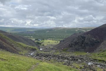
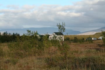
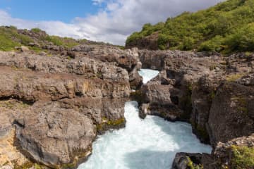
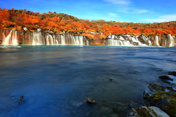
Húsafell offers diverse and fascinating hiking trails where dense forests, spectacular ravines, waterfalls, glaciers, fauna and bird life as well as cultural markings making the area so attractive. A map with different hiking trails accessible in the area is available at Hotel Húsafell's building and website.
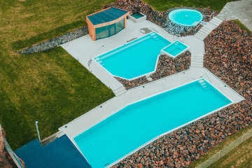
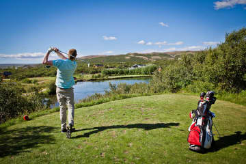
Húsafell is one of the most popular holday places in Iceland, but recently became defined as a residential area too. There are numerous activities around the area that will suit everyone's preferences whether it is hikings, glacier tours or cave exploring, golf. dip in geothermal water and even wild life /animal life observation (different bird and foxes). The beginning of hiking trail is at Hotel Húsafell and there is a large information sign below the hotel. The routes are: Bæjargil, Oddaleið, Kiðárbotnar, Háifoss, Hraunfossar and Kaldárbotnar.
About each route:
Húsafell-Bæjargil - The hiking trail is a beautiful route where outdoor enthusiasts can enjoy the history of the area, tranquility and views. The hiking trail is clearly visible, marked in sections and is a busy route for visitors to Húsafell.
The Húsafell-Oddaleið hiking trail is a beautiful route where watery rivers make their mark on the hiking trail. The route is well clear, marked and a busy route by the visitors of Húsafell.
The hiking trail of Húsafell - Kaldárbotnar holds magnificent views of Langjökull glacier and Strútur, while the river Geitá lies close to the route. You walk along the main road, into Kaldadalsvegur, walk into Húsafellsskógur and back.
The Húsafell-Kiðárbotnar route runs on the same route as Oddaleið and then enters Húsafells airport and onto the main road.
The Húsafell-Hraunfossar/Háifoss route runs on the old road, from Húsafell church up to Reyðafellsskógur. From there you can cross the highway and onto the roadside, all the way to the parking lot at Hraunfossar. A viewing platform at Háifoss can be found in Reyðafellsskógur.
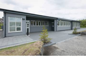
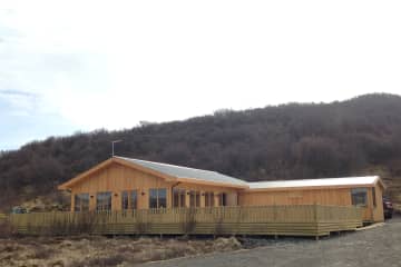
Hotel Húsafell is the central building in the area where many services are provided, accommodation, restaurant, mini-market, bistro and information center. It is also very well known for its high quality standards.
- Area: Húsafell, Borgarbyggð
- Road number to the starting point: Hálsasveitarvegur (nr. 518), Borgarbyggð. Húsafell.
- Level of Difficulty (blue route):
- Oddaleið - Easy path
- Kaldárbotnar - Easy path
- Hraunfossar - Easy path
- Háifoss - Challenging
- Bæjargil - Challenging (even though the path is clear, it can be moderately difficult walking on it. Requires basic skills and it for individuals in good walking shape. Less than four hours in length.
- Kiðárhlaup - Easy path
- Length:
- Oddaleið: 4.3km / 2.67 miles
- Kaldárbotnar: 10.7km/ 6.64 miles
- Hraunfossar: 9.3km / 5.77 miles
- Háifoss: 6km / 3.72 miles
- Bæjargil: 6.4km / 3.97 miles
- Kiðárhlaup: 2.5km / 1.55 miles
- Elevation: Going up Bæjargil is 450 meters /1476,37 feet
- Marking: Stakes can be found in Oddaleið route and there are markings also on Bæjargil route. No stakes on Kaldárbotnar, Hraunfossar and Háifoss routes.
- Duration (approximately):
- Oddaleið - 2 hours
- Kaldárbotnar - 3 hours and 30 minutes
- Hraunfossar - 3 hours and 30 minutes
- Háifoss - 2 hours and 30 minutes
- Bæjargil - 2 hours
- Kiðárhlaup - 1 hour
- Route type: There are small rocks on most hiking trails, but Oddaleið also has a lava substrate. On the way in Bæjargil, there are large rocks that need to be crossed. Asphalt substrate is on the way to Kiðárhlaup and Hraunfossar.
- Obstacles on the way: There are steps on most trails except on Kiðárhlaup.
- Services in the area: Hotel Húsafell provides services to guests
- Illumination: No illumination
- Season: The hiking trails are open all year round
- GPS coordinates starting and finishing point: N64°41.9304 W020°52.2730


